I've been trying to see the National Parks. I've been wanting to see the Great Smokey Mountains National Park.
(here's what Wikipedia has to say about the Great Smokey Mountain National Park)l_Park I've driven by The Great Smokey Mountain National Park but I could never recall actually getting to go into it. This time my husband and I made it a point to visit it. They claim its the most visited national Park and I believe it - there sure was a lot of people there when we were there. The day we went Congress decided to shut down the government. This park should have been closed but a major road runs through it and it was one of the main entrances to the Cherokee Indian Reservation and fortunately for us that kept it open at least that is what the visitor center people told us.
So here are my images of that visit:
 |
| Gaitlinburg Entrance to the Great Smoky Mountain National Park. |
We took the road (441) that took us through an area that was close to Dollywood. It was a tourist trap area but one of the things that got to me was seeing this rock shop complete with a dinosaur. I wanted to stop but it was on the other side of the road and I wasn't sure if we could get out again. At least I got this image of it.
This is what the mountains were looking like as we were driving there. I was a little disappointed because I was hoping to see some fall foliage. We were just a tad too early. When I saw the clouds and the way they were I could understand why they were called the Smokey Mountains.
We did stop at the visitor center to pick up a keep sake and to find out what we should really see while we were in the Park. The said one of the most popular places was Clingman's Dome and so that is what we decided to visit. One of the things the Great Smokes is known for is its bears. They had this on on display and was behind a plexiglass barrier and that was the way I like to see bears.
Here's another view as we drove up the mountains and stopped at one of their scenic view pulloffs. I could really understand why the mountains were also called the Blue Ridge mountains since they looked so blue in the distance.
While driving we notice this sign for the Appalachian trail (
Appalachian_Trail). I've known some people who have hiked it and when I was younger a friend tried to talk me into doing it but I just didn't have the time or the money to do it. While there we did meet two hikers - A father and son. They had been doing it for 3 months and had traversed 800 miles. What a way to get to spend time with each other. They said the most interesting thing they've seen so far was some bear cubs playing.
There was a lot of stuff in bloom like these flowers. I didn't recognize these and figured they must be some mountain species.
I just like this view with that pine tree. There was a lot of stuff about the Douglas pine being destroyed by a bug but I couldn't tell if this was a Douglas Pine or not.
We pulled into the parking lot and noticed the vegetation starting to change here too.
We got out and read what they had to say about the area.
We finally got to the Clingmans Dome parking lot and it was soo full. We weren't sure if we could find a spot and so took the first thing we saw. I was glad we did because it was pretty crowded. We decided since we were there we would walk to the dome. They warned you that it would take the average person a good hour to do and that there were no restroom facilities along the way.
We decided to do it because the things we were seeing were so beautiful. Like this:
I thought it was so neat to see the fog rising from the mountains like it was. It really seemed like it was smoke rising. The smoke rising is the result of water vapor/mist in the air and terpene vapors. (
Terpene)
They had some signs along the path to the trail and this was one of them. I thought this was interesting how the Indians viewed this area.
Where I live I don't get to see many outcrops and so when I saw this I just had to get a photo.
They say in the area its hard to get a good out crop too but I said its still more than what I'm used too. From what I could tell this is the Thunderhead Sandstone in the Great Smokey Group of the Ocoee Supergroup, PreCambrian in age. The coarseness of the grains caught my attention. It looked like it was deposit relatively near the source rock since they were not well rounded.
I didn't go ten feet before I saw this and got this image.
The outcrops were metamorphic and you could tell they had been folded with quartz veins running through it..
We reached this spot and my husband was getting chilly. It was in the low sixties here in the mountains. It was such a relief from the high 90's we had left the day before. But he wanted to go inside to see if it was going to get colder or what?
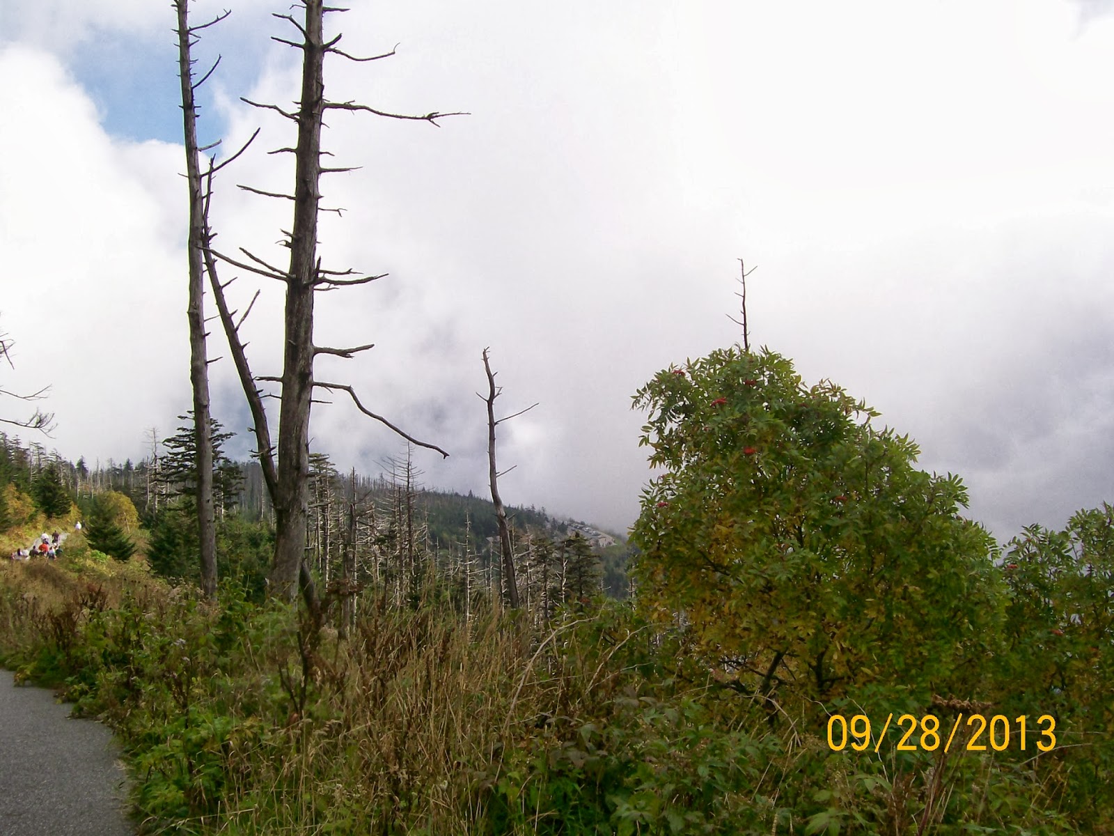
Along the way we noticed these trees that had been devastated by that bug.
My husband saw this outcrop and he actually stopped and said I should look at this. He thought it was interesting the way there was joints in it and I tried to explain to him about strike and dip. I did a pitiful job and he just kept on walking.

While I was at the visitor center I picked up the book "A Roadside
Guide to the Geology of the Great Smoky Mountains National Park' by
Harry L. Moore (1988). I didn't get a chance to open it up and look at
it while I was going through the park because I was so mesmerized by
what was seeing. I figured I would read it when I would get into the hotel. I didn't even get to it while at the hotel- it wasn't until I was home before I could take the cellophane wrapper off. I started to look at it and I was surprised we had taken the almost identical picture - from the same angle and almost identical spot. His lens captured more of the area. Plus in mine you can tell the vegetation has grown more. Do geologist think alike or what? Here's the photo that was in the book:
 |
| 'A Roadside Guide to the Geology of the Great Smokey Mountains National Park' by Harry L. Moore (1988) pg 123 The University of Tennessee Press/Knoxville. |
At least I knew I was on the right trail and could read about it in the book.
Here's the trail that we were on.
This didn't turn out well but you could tell it was definitely sedimentary rocks had some ripples in it but now has been metamorphosed.
I did enjoy the walk and seeing the different vegetation along with everything else.
Here was another sign for the Appalachian trail. I did not expect it to be so well marked and the trail so worn where you could tell this was definitely the path for it.
We just followed these signs.
And we finally got to see it.
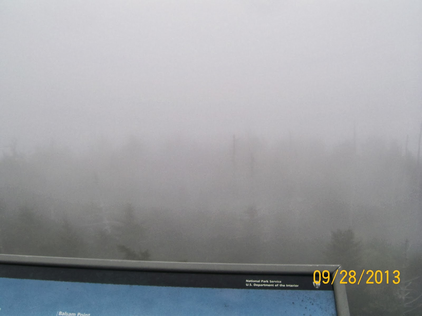
One moment it was hazy.
 |
| Clingman's Dome Observation tower - Great Smokey Mountains National Park | | |
And the next it cleared up. We were hoping it would be clear when we got to the top.
 |
| Clingman's Dome Observation tower - Great Smokey Mountains National Park | |
|
And then it came back again.
 |
| Clingman's Dome Observation tower - Great Smokey Mountains National Park | |
|
Here's looking back to the trail we had just gone. It was one of the few moment when there was no one that you could see on it. Most of the time there were people all around the area. I liked this because the fog gave it that smokey feel again.
 |
| path to Clingman's Dome- Great Smokey National Park |
I was surprised the had such a windy path to the top but was glad it was that way.
Now to the top.
| Clingman's Dome Observation tower - Great Smokey Mountains National Park | |
 |
| Clingman's Dome Observation tower - Great Smokey Mountains National Park | |
|
 |
| Clingman's Dome Observation tower - Great Smokey Mountains National Park | |
|
 |
| Clingman's Dome Observation tower - Great Smokey Mountains National Park | |
|
When we got to the top there were these signs as to what you should see and some explanations about the area. This one talked about the view we should see.
And this is what we got to see:
Not much of a view was it. But I am glad we did go there.
Here's another view of the area.
And another one.
At least we could see the tower in this one.
As we were heading back to the car it started to clear up and we actually got to the point were we could see the parking lot.
I liked this one because the trees were so distinctive and the way the light was shining on them.
When walking I saw these big round things in the rocks. At first I though they were drill holes filled in but then I saw them in some other area's and realize that I may have been wrong about that. Made me wonder what could have caused them?
Here's another rock that had those round spots on it too.
This was a view of the mountains as we were headed out of them.
 |
| scenic view of the Blue Ridge mountains |
And another view as we were headed out of the park.
Now I need to do some reading so I can get an idea about this geology in this area.
I only had two sources of references besides Wikipedia to look at. The first was by Harry L. Moore ( 'A Roadside Guide to the Geology of the Great Smokey Mountains National
Park' by Harry L. Moore (1988) pp 1-178. The University of Tennessee
Press/Knoxville.) And the other is "Geology Of National Parks"6th ed by Ann G Harris, Ester Tuttle & Sherwood D. Tuttle (2004) Kendall/Hunt Pub. Com. Dubuque Iowa. pp 821-834. Most of the stuff Harris et al referred to was based on Moore's writings so I'm just going to use his things.
Moore had some good diagrams that I am going to put in here.
The first it the geologic map of the area (pg32):
 |
| 'A Roadside Guide to the Geology of the Great Smokey Mountains National
Park' by Harry L. Moore (1988) pg32 The University of Tennessee
Press/Knoxville. |
Next is a cross-section of the area showing the titling beds and shows the Clingman dome being in the Thunderhead Sandstone in the Great Smokey (pg 112)
 |
| 'A Roadside Guide to the Geology of the Great Smokey Mountains National
Park' by Harry L. Moore (1988) pg 112 The University of Tennessee
Press/Knoxville. |
A 3-d diagram of the Clingman Dome (pg 116)
 |
| 'A Roadside Guide to the Geology of the Great Smokey Mountains National
Park' by Harry L. Moore (1988) pg 116 The University of Tennessee
Press/Knoxville. |
The stratigraphic chart of the area (pg 12)
 |
| 'A Roadside Guide to the Geology of the Great Smokey Mountains National
Park' by Harry L. Moore (1988) pg 12 The University of Tennessee
Press/Knoxville. |
And what is actually seen in the park (34)
 |
| 'A Roadside Guide to the Geology of the Great Smokey Mountains National
Park' by Harry L. Moore (1988) pg34 The University of Tennessee
Press/Knoxville. |
And this is of Eastern Tennessee and Western North Carolina. (pg27)
 |
| 'A Roadside Guide to the Geology of the Great Smokey Mountains National
Park' by Harry L. Moore (1988) pg 27 The University of Tennessee
Press/Knoxville. |
I looked up the Blue Ridge Mounatins on Wikipedia hoping they would have a good description of how these rocks were formed but was not impressed with the explanation there
Blue_Ridge_Mountains. The one on the Appalachian Mountains
(Appalachian_Mountains) was a little better but not near as good as it was explained in "Geology Of National Parks"6th ed by Ann G Harris et al. So I'm going to give the briefest explanation possible and hope you can read about it elsewhere because its how the Eastern Coast of the United States were formed.
Basically these sedimentary rocks were deposited during the Precambrian time. Then they got folded and experienced some metamorphism. They got split apart but then they were thrust back together during the Allegany Orogeny experiencing more metamorphism and making this extremely complex to figure out . Then they got split apart again and have been weathering down to their present height.
Here is the geologic map for Tennessee and the link
http://geology.about.com/od/maps/ig/stategeomaps/TNgeomap.htm

And
Here is the state map for North Carolina and the link where I got it
http://geology.about.com/od/maps/ig/stategeomaps/NCgeomap.htm:

I'll still be looking for more geology of the area.


thanks , enjoyed it
ReplyDeleteOn my way there now! Woo!
ReplyDelete