From the very first time I saw the battle field I was captivated by it. Since it is a memorial ground I don't feel right in saying I loved it because after all so many men lost their lives there and I really do not like war. But the area is so interesting and has so much to offer.
The geology is incredible and you can tell why it is such a key spot for a battle. Whomever controlled the bluff controlled the Mississippi river and the transportation of supplies.
The other geological feature that is so amazing is to see the loess deposits. Its hard to imagine this much material could have blown off of glaciers and then get deposited here. Because it was the way it was it made for easy digging in and helped the soldiers with trenching in. The kids I was with thought that it was fun to play in and run up and down the hills. But when you actually look at things and envision the troops battling there it makes for such a sombering experience. Then to really drive it all home is all the memorials that are there. There were people from all over the United States at that time.
Enough of this rambling on let me show you some pictures since that's what this blog is mainly about anyway.
 |
| The Enterance to Vicksburg National Military Park |


 |
| View of the Mississippi River from Vicksburg National Military Park (6-16-2012) |


 |
| View of the Mississippi River from Vicksburg National Military Park. |

One theory is there used to be a volcano way underneath creating a dome in the area. When I thought about it, it may be possible since crater of the Diamonds and Hot Springs are about 200-300 miles away. It probably was the hot spot that lead to the rifting of the Atlantic way back when Pangaea was breaking up. But for some reason that does sit right with me.
Another theory is its part of the fold system that occurred when Pangaea was being formed and South America continent was meeting up with North America. Without seismic data I'm still not convinced.
Another theory is during the Oligocene time there was a lot of volcanic activity out west. Things like the San Francisco mountain blowing its top kinda like Mt St Helen's doing in the 80s. This but a lot of silicas sediments into the drainage systems. And this area at the time was probably prime ocean front property. These sediments got formed into barrier islands and such and were more resistant to erosion than the other sediments deposit at a later time. This resistant area created a high that cause the wind blown loess deposits to settle down on.
I really don't know which theory to believe for the high in the area, all I can say there is definitely a high there. And there is definitely Loess deposits deposited there which made it easy to dig into and move around.
Here you can see the kids playing on the hill with a trench to the left.


 |
| Cannon's in the trenches - Vicksburg National Military Park |

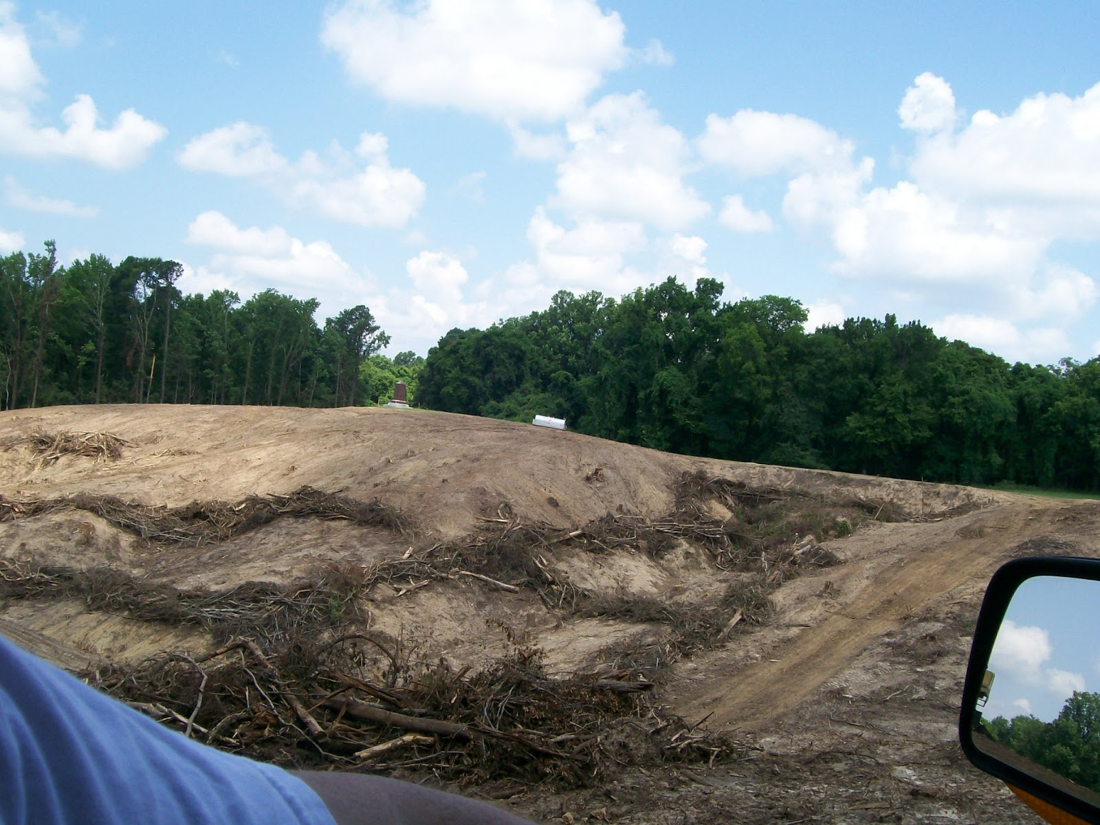
Here is a section they are currently working on.

Here is a section that has been reclaimed back.


In the park is also a museum for the Cairo Iron clad boat (Cairo post here ) that was sunk in the Mississippi and has been restored at this location. Its fascinating to see and is worth a post all on itself which I hope to get done next.
 |
| The tent for the Cairo, Vicksburg National Military Park. |
I think the one that stuck out the most to me was the one to the Illinois soldiers.
 |
| Illinois monument, Vicksburg National Military Park, MS |


 |
| Inside the Illinois memorial, Vicksburg National Military Park, MS |


 |
| Illinois Memorial, Vicksburg National Military Park, MS |

What blew me away was all the history you could see there.
You never knew who you would see or what memorial would be next.

When I took these pictures I knew who these were but have since forgotten them. All I know was a lot of them I recognized their names. And there were a lot I didn't recognize there names either. It just goes to show you how important this battle was to have so many people connected to it.


I felt better when I saw this other Ohio memorial. It seemed they put their memorials in the spots were their troops were stationed.


 |
| Louisiana Memorial, Vicksburg National Military Park, MS |


There were other memorial's and statues but I think I have shown enough of them and all I can say is this is a place you have to go and experience for yourself.
When you get all done driving through the park there is a museum you can go into. But as you head to it you notice this little area that had live people that would talk to you and answer your questions about the Siege and the way the soldier were living. One of the things that really struck me was to find out about it being a drought year and how hard it was on the soldiers that were involved with this battle.
These were all the different types of cannons that were used during the battle. Could you imagine what it must have been like to get all those cannon's to this location?


After seeing a place like this I always appropriate the geology of the area even more so. If there had been such an advantage to this location this battle never would have occurred here.
If you never been here and you are traveling on I-20 near the Mississippi River I highly recommend stopping at this national treasure.
5/30/2013 For my own reference I'm including this section of the Mississippi Geologic map of the Vicksburg area. What it shows is its Loess and also the Vicksburg Forest Hill Formation.
.jpg)

Geologic Map of Mississippi by David Thompson. Geologic horizons containing gravel are designated by the symbol G under the legend.
No comments:
Post a Comment