When I first moved to this area and people found out I was a geologist they always seemed interested in why I decided to be come a geologist. I told them I had started to take geology courses so I could become an archeologist and thought geology classes would help. Once I got into geology I fell more in love with that than becoming an archeologist - at the time it was a wise switch since to get any work in archeology usually meant getting a PhD and I didn't have the financial resources to do that. I could get a degree in geology in 4 yrs and get a good job with that degree afterwards. I got the geology degree but never lost my interest in archeology.
When I would tell people that and they were from the area they would always say to me afterwards - Oh you really must see Poverty Point in Northeast Louisiana. So for the longest time I kept on telling myself I really must get there but it was just far enough away not to be practical to go to by myself and I really needed to allow most of the day for it.
Well my spouse and I went on a trip. Due to the distances we were traveling we had to stop and spend the night in a hotel. In the morning as we were traveling home and knew the day was shot anyway I suggested seeing Poverty Point. He agreed to it and we ended up stopping there. I was so glad to finally get there and to see it for myself.
Poverty Point is in rural Louisiana and when you drive to it you could understand how it got its name. Except for farming there really isn't much there. It is in the Arkansas River flood plane and it is about as flat of a place as you will see anywhere. This picture below is pretty typical of the area.
At one point we wondered if we were even on the right road because it just seemed to get rougher and looked more like a private drive than a state highway. Eventually we got on to Hwy 577 and we did find the place by following the signs to it.
 |
| Entrance to Poverty Point, LA off Hwy 577 |
When we pulled up to it we were the only ones there at the time and we wondered if it would be open.
The building we first saw was the research facility and it was closed. We walked around a bit and was pleased that they had nice restrooms here. There was more to the place than what first met your eyes.
The Visitor Center was behind some stuff and when we went in we were pleasantly surprised. They had a viewing room where there was a diorama of the area that gave you some background information. Then we talked to the clerk that was there. He told us there were two guides to the place. The one that was for a car drive and the other to hike. We got both guides, but first decided to look at the exhibits in the museum .
They had all sorts of figurines there.
 |
| Figurines collected from Poverty Point, LA |
Decorated objects found in the area
I liked this exhibit the most. It showed a lot of different types of rocks that are not from this area that was brought there by the Native Americans. Based on where these can come from they were able to establish that this was an advance settlement and they traded with other Native Americans from all over the Mid west.
Here's a map where the the different specimens probably came from.
I liked seeing these pieces of chert. Chert was very important for making tools and was used a lot as a cutting edge.
Just look at all the arrowheads that have been uncovered so far. When you think about it - its mindbogglingly since these have had survived for thousands of years.
 |
| arrowheads discovered at Poverty Point, LA |
Some day I hope to be able to read more and study more about these Native Americans. Most of the things that have been recovered from this area date between the periods 1700 and 700 BC. These people were building there mounds and stuff during the same time the Egyptians were building there pyramids. Unlike the Egyptians that had a dry climate to deal with this area is very humid and moist. Conditions that don't let a lot of materials survive. In fact the only stuff that would survive is material like arrow heads and such since its the stronger more resistant materials.
Needless to say you are not allowed to remove anything that you find here - and if you do find something you are suppose to report it so they can investigate it.
It didn't take long to look at things in the museum. The weather was good enough to go look at the stuff that was outside where the real interesting things are.
Outside they did have this diorama so they could point things out and talk about what can be seen there.
 |
| diorama of Poverty Point, LA |
Another view of it.

One of the things that catches you eye is the big mound. And its because of this mound the area was discovered for its historical significance.
Since we were the few ones that were there at first we decided to do the hiking trail since there was no one to take us on a tour.
And so its easier for others to see things - this is a copy of the guide we went by.
The first marker is about the Bayou Macon.
 |
| Bayou Macon @ Poverty Point, LA |
At this location they believed there was a docking system. At one point Bayou Macon was park of the Arkansas River and would have been a major factor in why the settlement settled here, and based on the soils there may also have been a lake.
Marker 2 - Mound D.
This mound is of the Coles Creek period - 1150 AD. Because of its raised position settlers in the 1800's would use places like this to build their plantations. Sarah Wilson Guier built her plantation here and called it 'Poverty Point' as a reflection of her life.
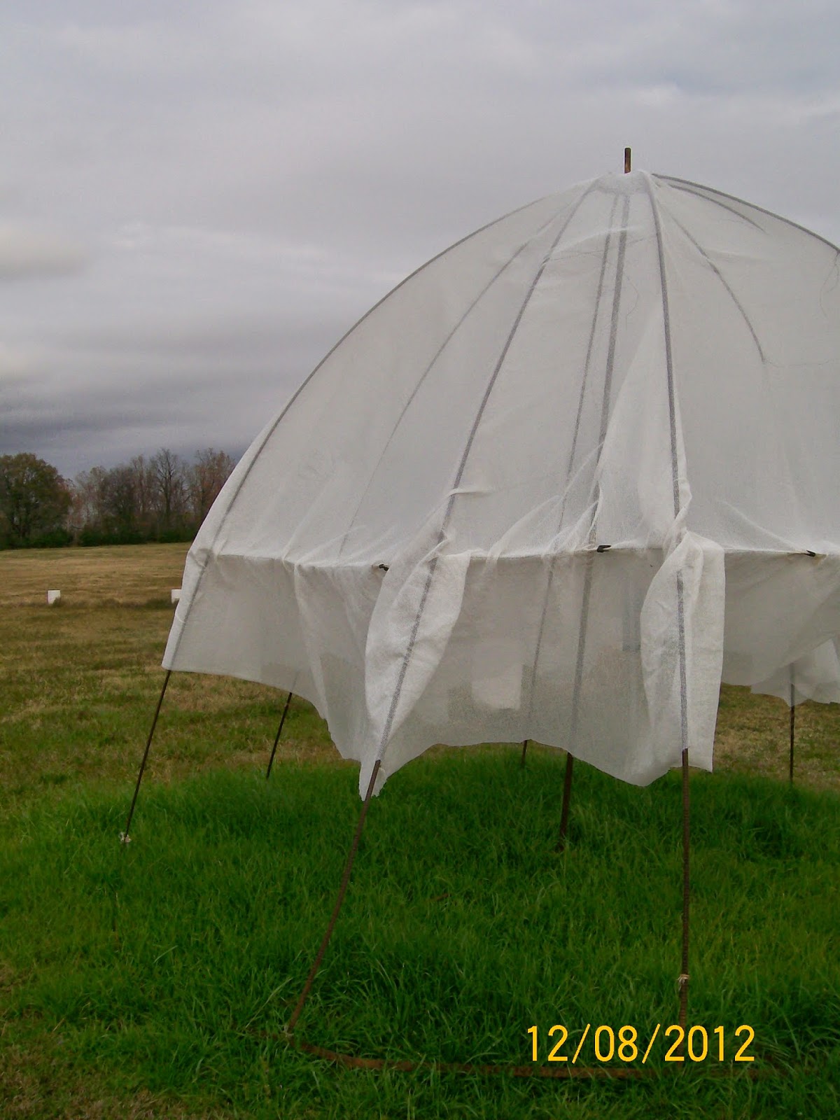
We walked through the field and observed things like this.
You could tell this tent was set up so someone could work in this area.
Part of this field is of interest because it used to be an old slave cemetery. There is also one of the ridges going through it too.
This is part of the Southwest Ridge one. It was raised up 4-6 feet and excavations indicate it was a general living area. They could determine this by uncovering cooking pits and artifacts like the ones that were found in the museum.
Maker 6 - Benchmark. At this spot its 99.2 feet (30.239 meters) above sea level. Latitude 32.63622 N & Longitude 91.405026 W.
This was a causeway that was build in a lower wet area. It was done by loading one basket of dirt upon another until it was it was high enough to keep the people from getting wet.
They had to get the dirt from somewhere and it was usually close by area's. These areas that were excavated then became pounds and sources of water. This same principle of shifting one basket of dirt at a time was used to build the mounds too.
Mound E
Maker 9 - Mound (A) Display.
This is the main mound and is called Mound A. It is believed to be in the shape of a bird. It is 70 feet high, 640 feet wingspand and 710 feet from the head to the tail. It was believed to have been built for ceremonial purposed and was not used as a burial ground.
They have a path that you keep on to get to the apex of the mound.
 |
| Mound a @ Poverty Point, LA |
This is looking down from the top. My camera just couldn't catch the magnitude of this mound and how impressive it is. And to think this was built up one basket at a time. They do believe it was built fairly rapidly by the uniformity of the soil which meant there were probably thousands of individuals living in this community at the time it was built.
more view from Mound A
Looking at the north wingspand.
Looking at the south wingspand.
This was pretty typical of the area before it was cleared off to help find the mounds.
The early farmers found the ridges and used those to do their planting since they were elevated enough to keep them well drained. This area is also an area were they would get the soil to build the mounds with.
Marker 17 - Harlan Bayou - This was the main drainage in the 1840's.
Marker 14- Mound B Field. This is the area where the oldest artifacts have been found.
Mound B has three major flat top surfaces. The archeologist believe mound B was constructed sometime after 1768 BC.
Another area that was left the way it was so you can see how the ridges where like when they were first discovered.
We did finish the walk but I stopped taking pictures since most of it was just in the woods and didn't have anything really interesting to see.
While we were walking we could help but notice the migrating birds.
It is in the path of the birds migration. I was fascinated to watch these ducks fly overhead. I loved the way they had the classic v formation up front and how the others just fell behind.
 |
| Migrating ducks as seen from Poverty Point, LA |
This next group seemed like it was better organized, but still amazing to watch them fly overhead.
At one point I just thought it so pretty to see the sun rays just streaming down like they were.
It was well worth the while to make the stop and I'm very glad I've finally got to see it. If you are into Archeology type stuff like I am, its a definite must see place to go. I was impressed with how many artifacts they've been able to recover from this location considering how old the material is.
And even though its name is Poverty Point, I really feel the name is a real misnomer because you could tell at one point this place was quite a prosperous place for the Native Americans.
Once I've visited a place and have gotten my impression of it I then like to go and look up more information on it. Poverty point is no exception.
Here's what Wikipedia has to say about it
http://en.wikipedia.org/wiki/Poverty_Point
And some more about their culture:
http://en.wikipedia.org/wiki/Poverty_Point_culture
And also about the state park that is there, which is where people stay when they want to see this site since it is so rural:
http://en.wikipedia.org/wiki/Poverty_Point_Reservoir_State_Park
Here's the address: Poverty Point State Historic Site
P O Box 276
Epps, LA 71237
(888) 926-5492
6859 Hwy 577
Darnell, LA 71266
other references:
http://www.crt.state.la.us/louisiana-state-parks/historic-sites/poverty-point-state-historic-site/index
http://archaeology.about.com/od/pterms/g/povertypoint.htm
http://www.ladelta65.org/places/Poverty.Point.Historical.htm
http://www.exploresouthernhistory.com/poverty1.html
I am going to add some more info as I find it.


No comments:
Post a Comment